Internalise Data
-
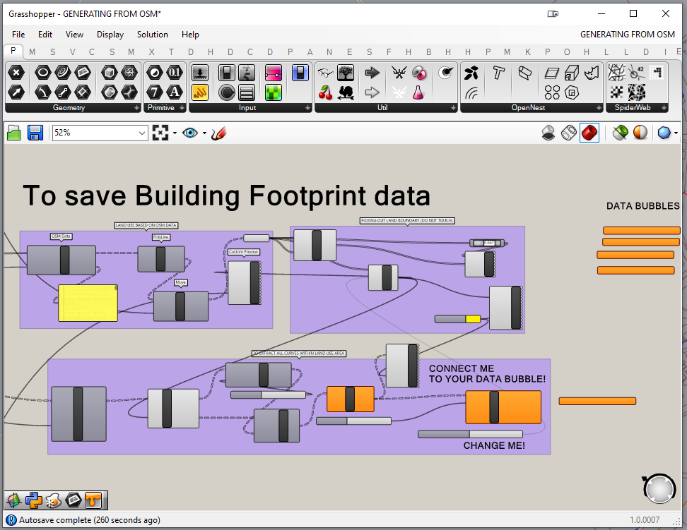
Go back to the GH window and drag the canvas and locate the portion of the script as shown
-
Zoom into the following components
The highlighted slider allows you to isolate and select the desired land boundary and the building footprints that are within that boundary, which will be marked as yellow in Rhino, as shown on the right
Notice that each land boundary curve has a number assigned to it. This is the value that you may type into the slider to isolate a particular land boundary and its building footprints.
To change the value in the slider, either drag the button left or right or double click to manually input a desired value.
-
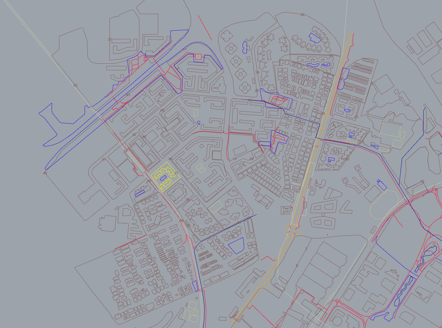
Identify the types of buildings through the comparison of street information in Google Maps and line data generated in grasshopper
-
Change value of LAND BOUNDARY SLIDER to select all building footprint of desired area
-
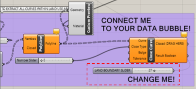
Drag and pull the white tip of Closed (DRAG HERE) and connect to th white tip of one data bubble
-
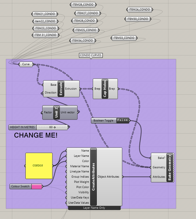
Rename data bubble by right clicking and replacing the name of the bubble using the format: ITEM(XX)_(BUILDING TYPE) where XX refers to the value used in step 9 and BUILDING TYPE is either one of these categories:
- LANDED PROPERTIES
- CONDO
- COMMERCIAL
- HDB
-
Right Click on the bubble and click “Internalise Data” after renaming
-
Drag the bubble above the category so as to keep the sorting neat and tidy
- New Updates Here